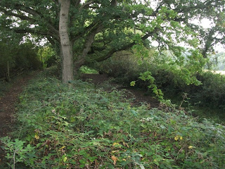
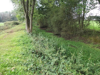
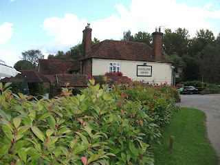
Later in the year (September 2017) I tried another reasonably long walk in a day, the 'Wey-South Path'. This walk is based upon the route of the Wey and Arun Canal, mostly disused, but being slowly restored by the Wey and Arun Canal Trust.
Although this is slightly shorter than the Downs Link at 34 miles it is not easy to navigate and I needed OS maps and also the specific booklet produced for the walk by the Trust. An example of the need for the booklet was at Elmbridge village. I could not see a way forward on the map, so consulted the book. The way forward was through an unmarked garden gate/ door in a wall, through a private garden (with a right of way) and onto the some fields beyond! I found that I had to have the map and booklet constantly to hand and despite this made two wrong turns costing me about one hour.
At that time of year with limited daylight I started at 6am whilst it was still dark, but still ran out of daylight and only completed about 90% of the walk, very frustrating! I finished the walk near Pulborough and managed to walk to the station (only about a mile or more away from the walk route), and get the train home. In 2018 I will walk it nearer to midsummer for increased daylight, and also I will not make the same mistakes again!
Here are some useful links:-
https://www.walkandcycle.co.uk/trail?trailcode=SURRTR0032
https://www.ldwa.org.uk/ldp/members/show_path.php?path_name=Wey-South+Path
http://www.gps-routes.co.uk/routes/home.nsf/routeslinkswalks/wey-south-path-walking-route
http://www.southdownswalking.com/walking-wey-south-path/
https://en.wikipedia.org/wiki/Wey_South_Path
...
Friday 13 October 2017
Downs Link walk, April 2017
I walked this one in April 2017. Here are some useful links:-
https://www.westsussex.gov.uk/media/2203/downs_link_6_stage_route_2010.pdf
https://www.westsussex.gov.uk/leisure-recreation-and-community/walking-horse-riding-and-cycling/downs-link/
https://ramblingman.org.uk/planningatrip/planning-downs-link-walk
https://www.walkandcycle.co.uk/trail?trailcode=SUSSTR0051
https://en.wikipedia.org/wiki/Downs_Link
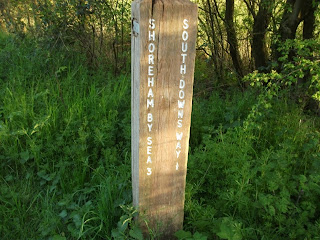
This is a very easy walk to navigate, well signed, and very straight as it's based on old rail routes! I recommend this one, it has some very nice views and it's fairly flat too so physically a fairly easy one. At 37 miles it is often done in 2 to 3 days at a leisurely pace. Unfortunately my time is limited (work, family) so it was do it in one day or don't do it at all... I set off at 6am and finished 14 hours later at Shoreham-by-Sea, just as the light was fading.
I was expecting blisters but tried a new method (actually a very old method, my grandfather was a WW1 veteran and passed this advice to my father who passed it to me!). I stopped twice, took off my boots and socks to let my feet breath and more importantly dry, then put fresh clean socks on before setting off again. It worked, not a single blister! Have to say I was physically very tired however, probably should have brought some more high calorie food.
If anyone wants to lose weight I can recommend this walk as I lost 5 pounds in one day!
...
Subscribe to:
Posts (Atom)
North Downs Way Part 5 (Wye to Dover) - July 2023
This was the final part of the Trail for me. Once again, this was 2 sections from Colin Saunders official National Trail Guide, Wye to Etch...

-
Walked this old friend again in May 2022, the sixth time now. The weather was perfect, dry, cloudy, with a gentle cool wind. The quickest y...
-
I started walking locally (from my base in Woking) about 12 years ago in an attempt to keep fit and stave off the ageing process! With the N...
-
I walked this one in April 2017. Here are some useful links:- https://www.westsussex.gov.uk/media/2203/downs_link_6_stage_route_2010.pdf ...


